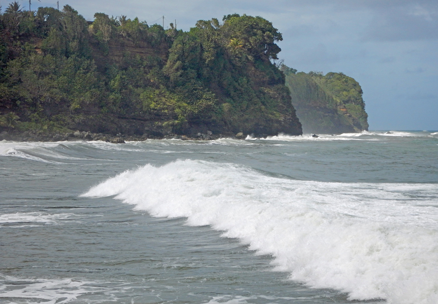
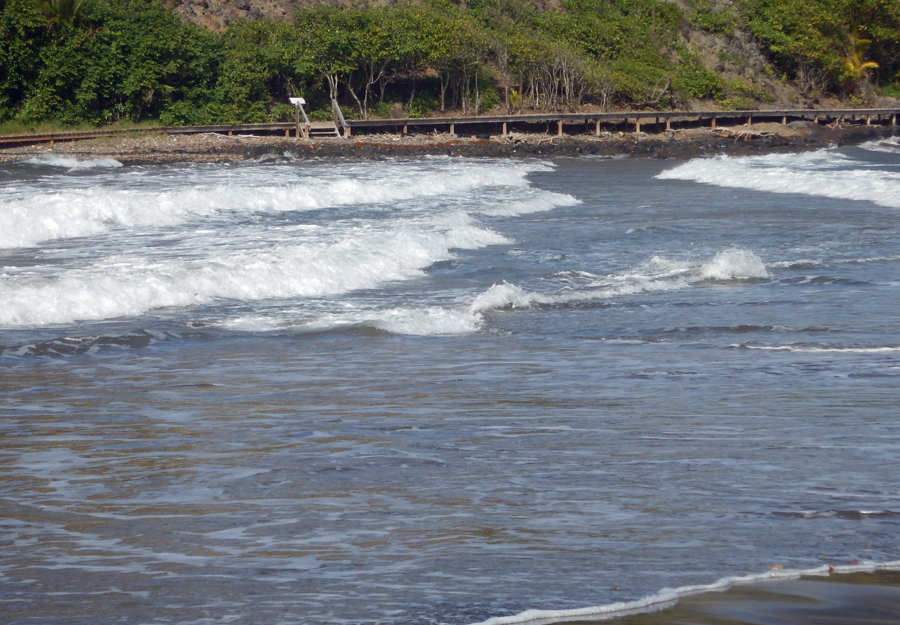
The rocky Atlantic side of Martinique
We decided to do a victory lap around Martinique. We were almost successful. Let me explain.
At this point we have been all over this island and explored just about all it has to offer. It is one of our favorite places and we have loved our stay here. There were a few little towns we managed to miss somehow as we took in the sights. Most were located on the upper northeastern edge. As we looked at the map, we realized if we did a day-trip circumnavigation of the island we could see all we had missed. So off we went in our comically tiny rental car with map in hand and tablet in the other (Google maps). Our planned route is to leave the marina on the lower southwest side and head east. This would take us to the Atlantic Ocean side of Martinique. We would turn north and drive up the coast to the most northern point and then come back south on the west side of the island, the Caribbean Sea side. In a nutshell our day would be a counter-clockwise circumnavigation of Martinique. It seemed like a good plan.
After traveling down some very narrow winding roads we reached the most northern point of the island and the town of Grand’Rivière. From this vantage we could see the island of Dominica about 25 miles away on the horizon. This is our next stop after Martinique. I think it is kind of cool that as we travel the Caribbean Islands, often the next port of call is less than a day’s sail. So far this season, we haven’t had to sail any overnight passages as we have hopped from one island to another.
So here we are in Grand’Rivière, our plan was to continue west until we turned south on the western side of the island. But, we ran out of road. The narrow little road just sort of ended at the ocean. We consulted our paper map. It showed a road. Be it as it may, it was a sort of dotted line road. We figured dotted lines meant the road would be small and narrow. But, guess what? We are driving the tiniest car in the world so this isn’t a problem. We kept driving around Grand’Rivière and the only road out we could find was the one we drove in on. After unsuccessfully hunting all about the town for the road out, we decided to ask for help. “Excuse me, could you show me the way to this road” was the phrase we typed into Google Translate. We are in a remote town on a remote island. Our chances of finding someone English speaking was about as good as hitting the lotto jackpot. So we showed the map and the tablet to a couple of poor locals who gave us the “what the heck are you tourists doing all the way up here” eyes. And then came the ever popular phrase that all French people learn in their childhood years, “It’s not possible”.
How can this not be possible? We are here (pointing to the map). We need to go there (pointing to the map). Where is this road? You can’t get there from here! You have to go back the way you came. Although the paper map showed a road, when we put our route into Google Maps we learned why the local people looked at us like we were crazy. The road didn’t really exist yet. We eventually figured this out with the help of a few very nice people who began wondering if these darn tourist are ever going to leave their beautiful little island village. We learned it is a planned road and is currently little more than a hiking trail. It was suppose to have been built a few years ago so it was added to the official map. Yes, the official map that is given to tourist by the car rental company. Only the rental company failed to mention if you try to drive on this road you will wind up in the ocean. Oh! Now I get it. Now I understand what the dotted lines mean on the map.
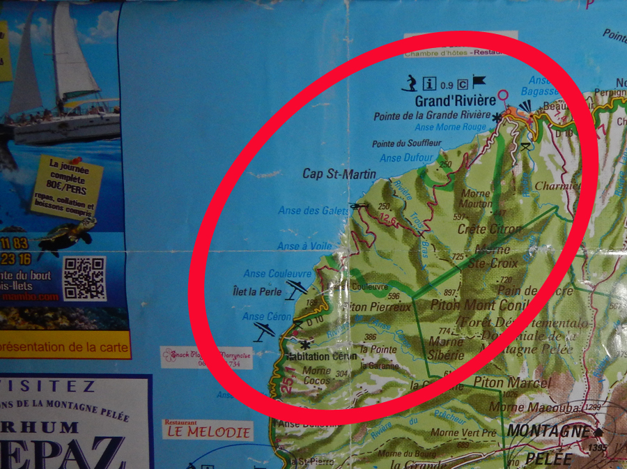
Our paper map shows a little red dotted road in this area
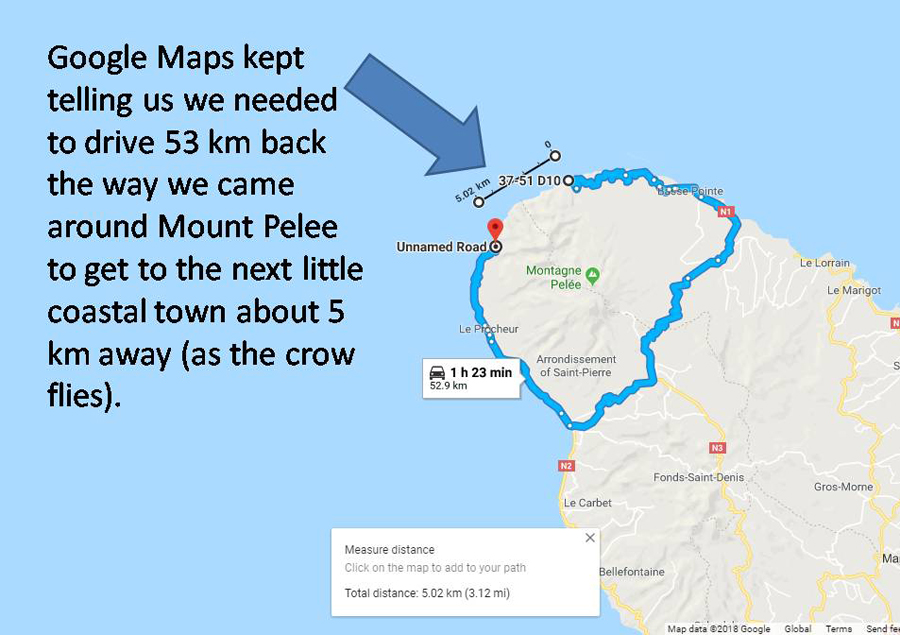
Google says no road exists. Google is correct
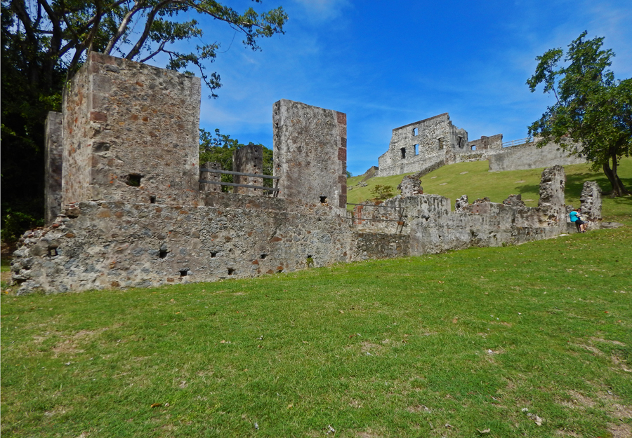
Château Dubuc – Ruins of a 17th-century Chateau sugar and coffee plantation
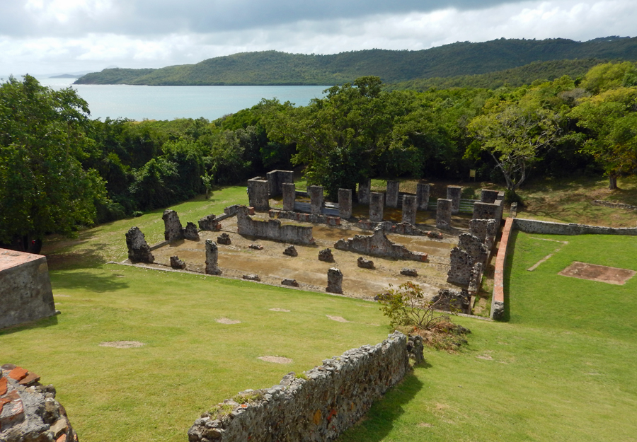
Château Dubuc – Looking down to warehouse ruins
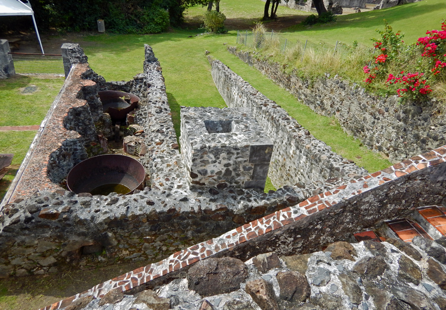
Château Dubuc – Sugar cane fermentation area
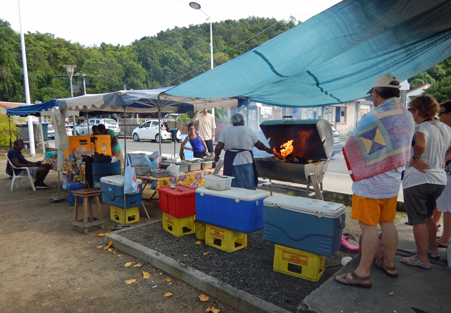
When you see a line of people at a roadside food stand – good sign
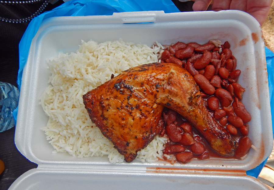
Lunch – yum!
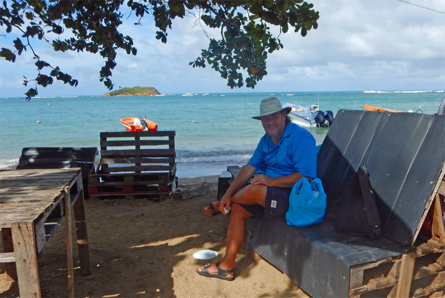
Our lunch spot – ya just can’t beat the view!
Point D’ Eau – The water wraps about the island and forms a beach on both sides of the crossing with waves coming from opposite directions
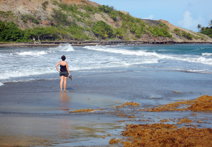
Contemplating whether to cross, or not. She chose not to. Good move. It was a little rough.
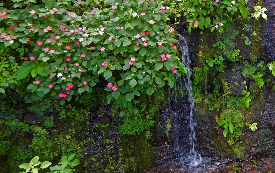
A roadside treat

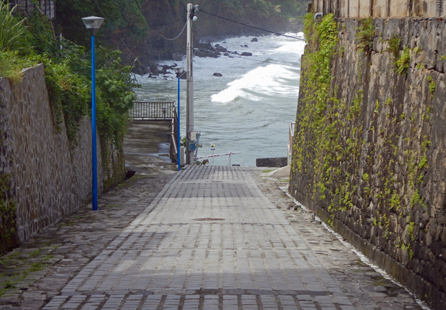
As we reach the end of the road we cross very deep ravines on single lane bridges
The end of the road. Don’t forget to set the parking brake!